Skip to main content
Images d’Art
Open menu
Close menu
Home
Languages
En
glish
Fr
ançais
User menu
Sign in
Sign up
Nav social
Facebook
Twitter
Keywords
Museum
Periods
Authors
Technics
Keywords
Advanced search
Keywords
Authors
Johann Christoph Erhard [1]
Jouvenel [1]
Periods
modern age [3]
17th century [2]
19th century [2]
XIXth century [2]
contemporary period from 1789 until 1914 [2]
18th century [1]
XVIIIth century [1]
XVIIth century [1]
Techniques
coloured print
Collections
Maps and plans
Geographies
United States of America (representation) [2]
North America (representation) [1]
Colors
a8a495 [4]
beae8a [4]
d8dcd6 [4]
e6daa6 [4]
8d8468 [3]
b1916e [3]
fdfdfe [3]
7a6a4f [2]
7f684e [2]
9d7651 [2]
Keywords
map (geographical) [6]
Napoleonic period (representation of) [1]
battle (land) [1]
strategy (military) [1]
8
results
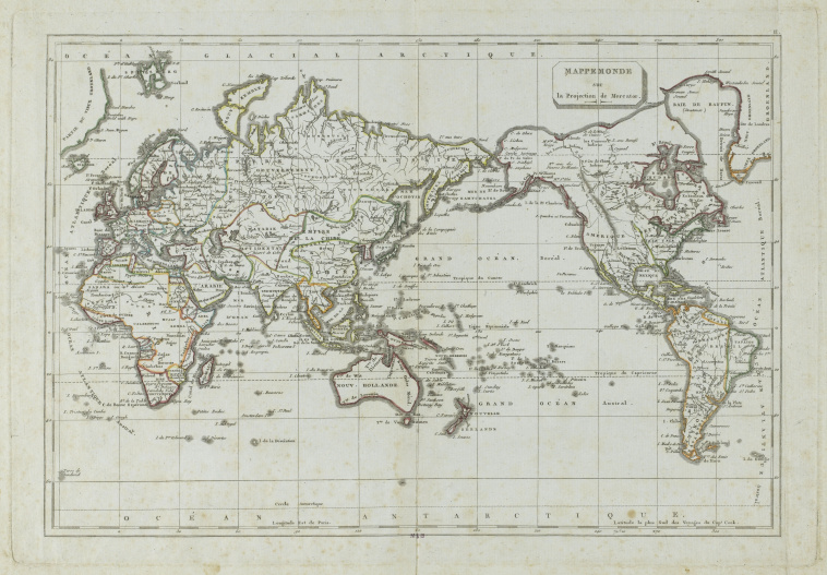
Mappemonde selon la projection de Mercator
Download
Add to favorites
Add to a selection
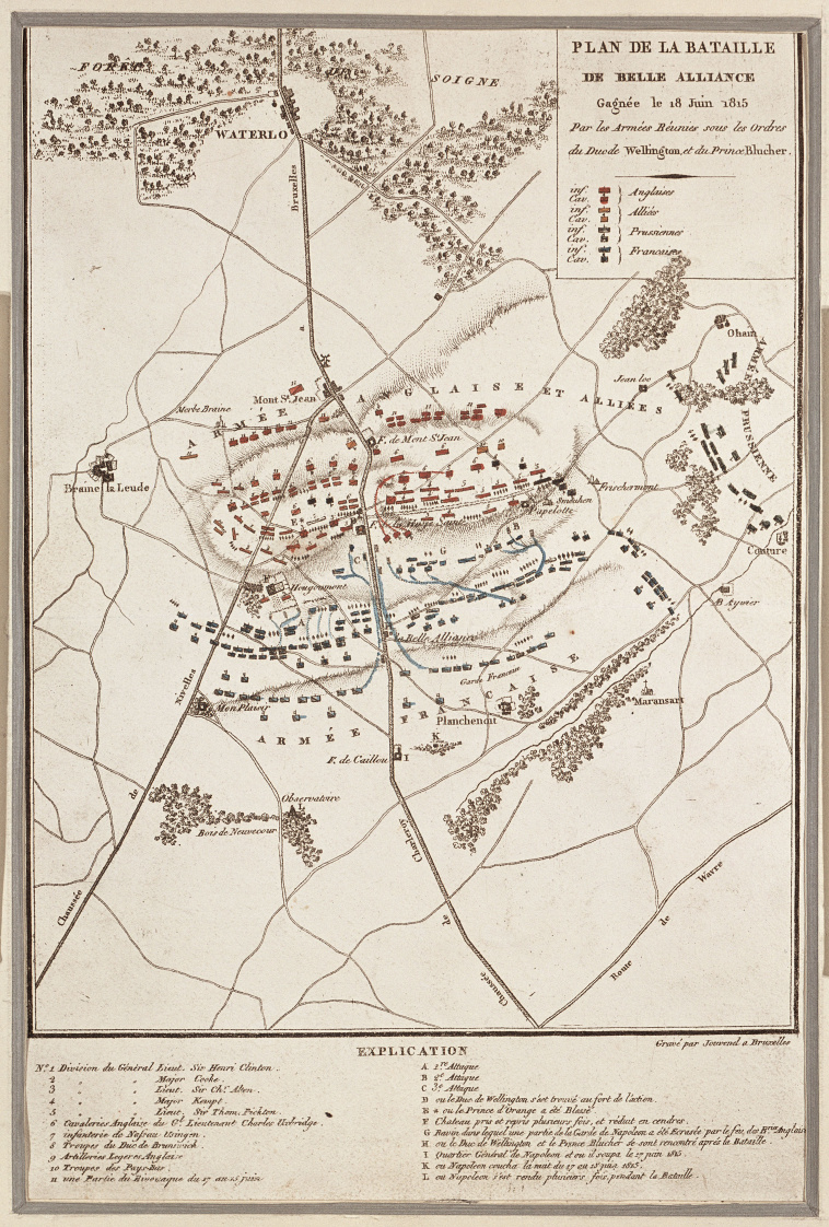
Jouvenel
Plan de la bataille de Belle Alliance
Download
Add to favorites
Add to a selection
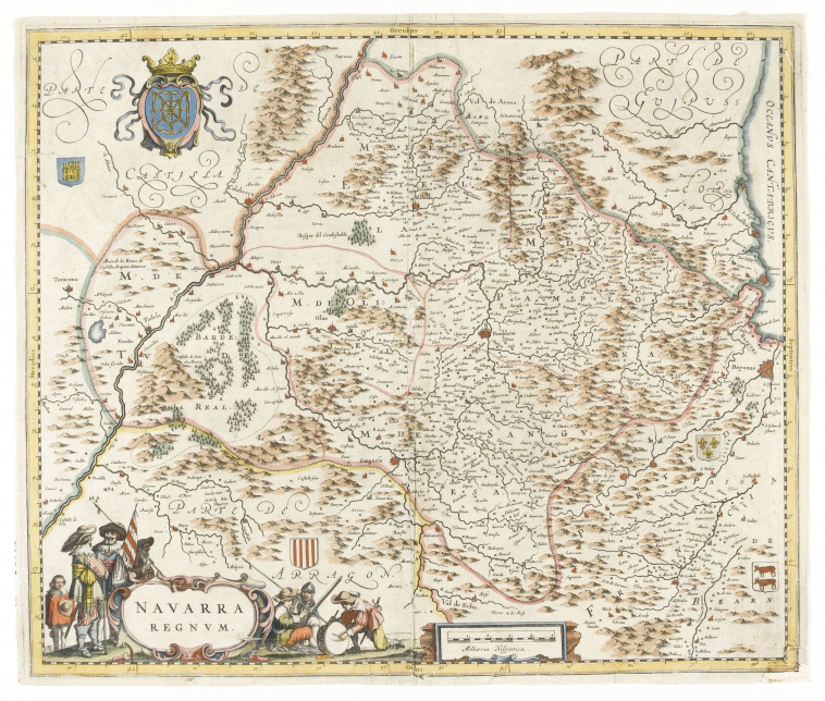
Carte du royaume de Navarre
Download
Add to favorites
Add to a selection
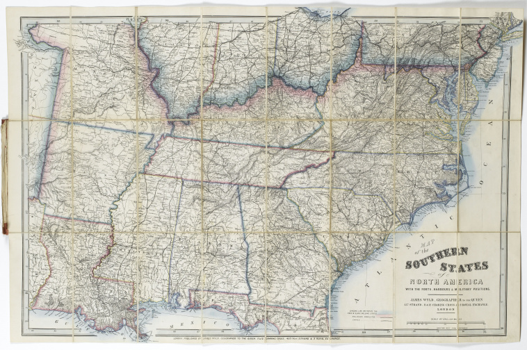
Wyld's New Map of the Southern States of North America
Download
Add to favorites
Add to a selection
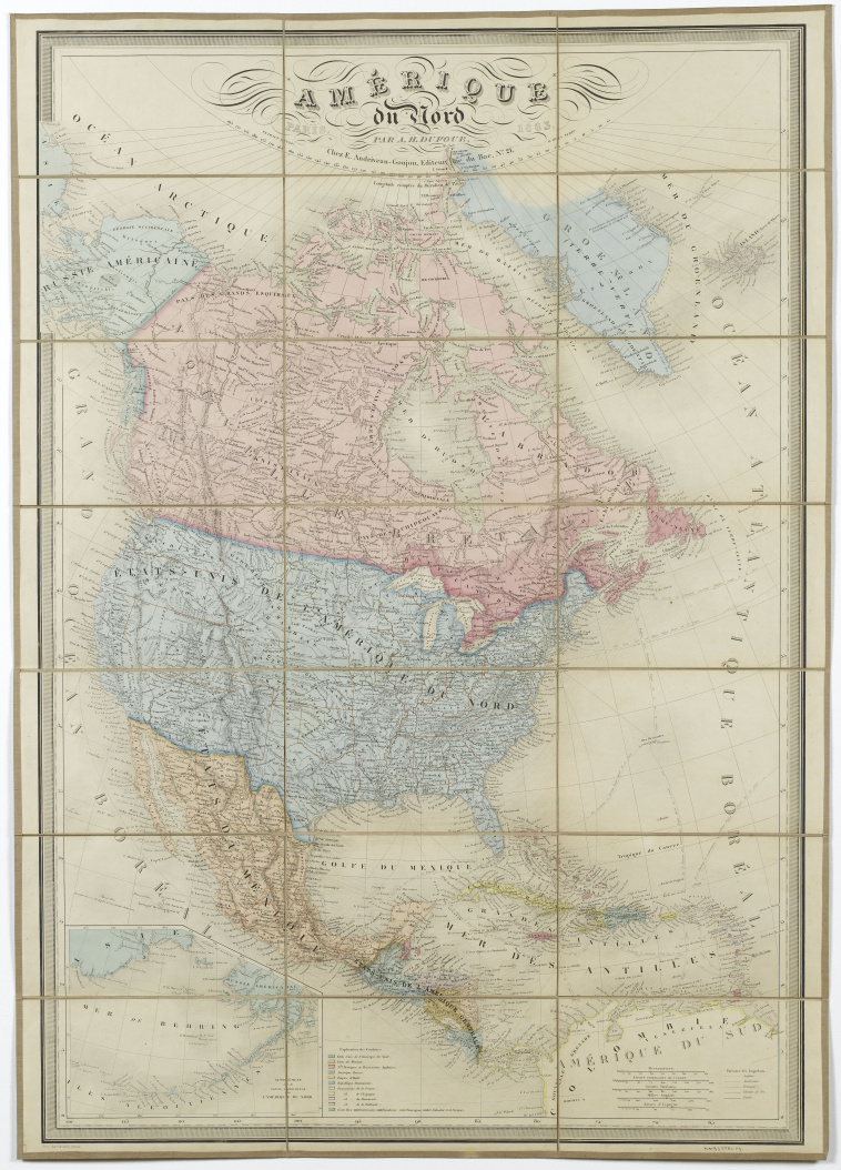
Amérique de Nord
Download
Add to favorites
Add to a selection
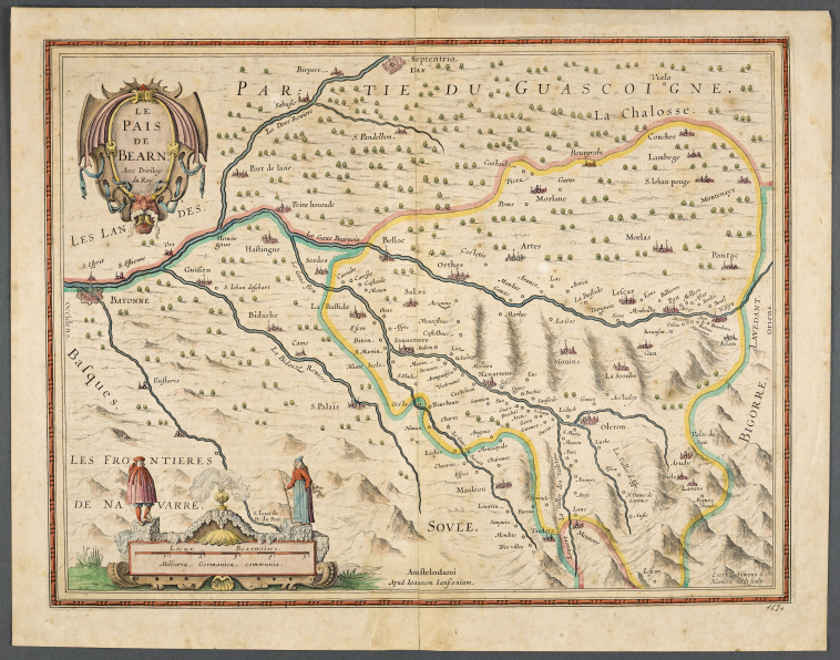
Carte du Béarn
Download
Add to favorites
Add to a selection
Johann Christoph Erhard
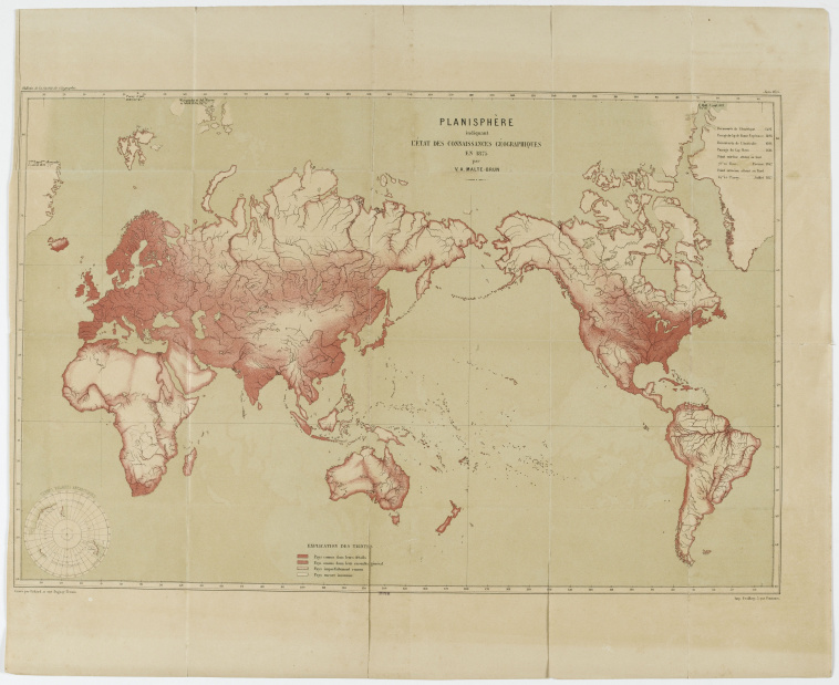
Planisphère indiquant l'état des connaissances géographiques en 1875
Download
Add to favorites
Add to a selection
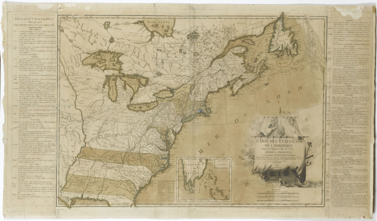
Carte des Etats-Unis de l'Amérique suivant le Traité de paix de 1783...
Download
Add to favorites
Add to a selection